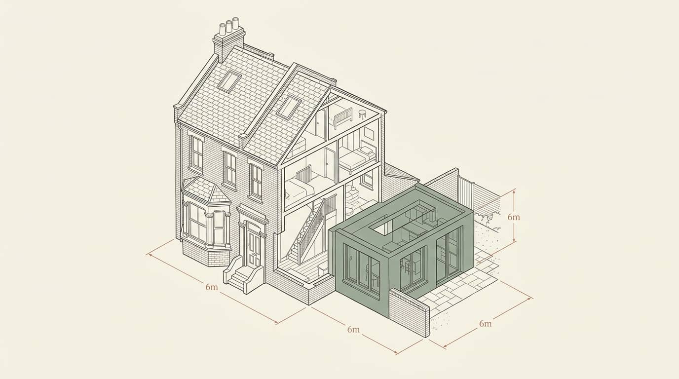
Chartered planning drawings prepared for Harrow Council — hip-to-gable lofts and rear extensions on the borough's Metroland semis, and heritage-sensitive schemes on Harrow on the Hill, delivered in days and revised free until you have a decision.
Harrow is one of London's most consistent boroughs to draw for — and one of its most deceptive. The great sweep of the borough, from Pinner and Hatch End across Rayners Lane, Kenton, Wealdstone and up to Stanmore, is interwar Metroland: 1930s semis with hipped roofs, side garages and long gardens, laid out along the Metropolitan line. But at its heart sits Harrow on the Hill, a conservation area of a completely different order — a historic hilltop village wrapped around Harrow School, with listed buildings, narrow lanes and protected views that demand a heritage-led approach.
Most of our Harrow work lives in the Metroland streets, where the borough's classic project is the hip-to-gable loft conversion with a rear dormer — the hipped roofs of the 1930s semis practically invite it — usually paired with a single-storey rear extension to open up the original narrow kitchen. Harrow Council's officers know these house types intimately, and they judge proposals against the rhythm of the street: matched pairs of semis, consistent rooflines, and gaps between houses that give the suburbs their character.
The constraints map is unusually specific here. Harrow has 30 conservation areas, and 15 of them carry Article 4 directions that strip out permitted development rights for extensions, roof alterations, replacement doors and windows, boundary treatments and hard-surfacing — clustered around Pinner (five directions), Stanmore and Edgware (five), Harrow on the Hill (four) and Harrow Weald (one). Applications are judged against the adopted Core Strategy of 2012 and the Development Management Policies of 2013, read alongside the Residential Design Guide SPD, while the emerging Harrow Local Plan 2021–2041 — submitted for examination in early 2025 — signals where policy is tightening on suburban character. We draw for Harrow every week, track the council's live decision data, and design against the objections its officers actually raise. If the planners push back, revisions are free until you have a decision — you never pay twice to get to yes.

Before you commit to a project, it helps to know how Harrow Council actually decides. The figures below come straight from official planning statistics for the borough — and they show why a professionally prepared, policy-compliant drawing pack matters. Refusals in Harrow's suburban streets typically turn on roofline character and bulk: a gable that unbalances a matched pair of semis, a dormer that dominates the rear slope, a two-storey side extension that closes the gap between houses. We design against those objections before submission, which is how our clients consistently land on the right side of the numbers.
Source: MHCLG planning application statistics (householder decisions, rolling year). Compare every borough on our London approval-rate league table.
Many home projects in Harrow do not need planning permission — most hip-to-gable lofts, rear dormers and single-storey rear extensions on the borough's houses can fall under permitted development if they stay within national limits. You will usually need a full application to Harrow Council if any of the following apply:
A hip-to-gable loft on a Kenton semi, a rear extension in Rayners Lane, a sensitive alteration below the spire of Harrow on the Hill — we draw to the way Harrow's case officers actually read a scheme: the street pair first, the roofline second, neighbour amenity answered on the page.
Harrow's validation checklist is strict about scales and completeness. Every pack we prepare for the borough includes:
Every affected floor at 1:100 or 1:50, dimensioned and labelled, so the officer can see exactly what changes and what stays.
All elevations altered by the work, with materials annotated — matching render, brick and tile matters on Harrow's uniform interwar streets.
OS-based, with the site edged in red and any other land you control edged in blue, on a recognised paper size with a north point.
Showing the proposal against boundaries, neighbouring buildings and parking — the gap between semis is a live issue in Harrow side-extension cases.
Hip-to-gable and dormer schemes in Harrow are usually asked for a roof plan and a section showing head heights, set-backs and how the new gable meets the ridge.
On Harrow on the Hill and in other conservation areas, a short design and heritage statement explaining how the scheme preserves character and protected views.
Tell us your postcode and project. We score the odds against live Harrow decision data and flag conservation-area or listed-building constraints on your street.
We measure the property and produce accurate existing plans and elevations — the baseline Harrow's validation team checks first.
Chartered designers draw the scheme to Harrow's residential design guidance, answering roofline, gap and daylight points on the page.
We submit via the Planning Portal, handle validation queries and liaise with your Harrow case officer through the eight-week determination period.
Tell us about your project and get a fixed, no-obligation quote back within one working day. If you don't need planning permission at all, we'll tell you that too — for free.
Harrow's suburbs are among the purest surviving expressions of Metroland. Pinner, Hatch End, North Harrow, Rayners Lane, Kenton and Stanmore were built out largely between the wars along the Metropolitan line, street after street of hipped-roof semis and short terraces with generous gardens. For homeowners this is fortunate geography: the house type takes a hip-to-gable loft conversion better than almost any other, converting wasted hip space into a full-width room, and the long gardens absorb rear and wraparound extensions without crowding the boundary. These two projects, alone or combined, dominate Harrow's householder caseload.
The design discipline is the matched pair. Most of these semis were designed as single compositions of two houses, and Harrow's officers are alert to alterations that break the symmetry — a gable on one half of a pair reads differently from a gable on a detached house, so ridge details, set-downs from the ridge and matching materials all earn their place on the drawing. On corner plots and side extensions, the borough watches the gaps between buildings that keep the streets from reading as a continuous wall.
Harrow on the Hill plays by different rules entirely. The conservation area takes in the historic village core, Harrow School's campus of listed buildings, and the slopes that make the Hill a landmark visible across north-west London. Proposals here are judged on heritage terms — materials, historic plot patterns, and the setting of listed buildings and the church spire of St Mary's — and a scheme that would sail through in Rayners Lane can founder on the Hill without a properly argued heritage case. The council backs this with area-specific guidance: a Conservation Area Residential Planning Guidance document for Harrow on the Hill, and separate SPDs for Pinner, Stanmore and Edgware, and Harrow Weald, each spelling out what alterations the officers will accept. Pinner's medieval High Street and parish church carry similar, if gentler, sensitivities. We check which designation and which Article 4 direction apply to your address first, then set the design strategy accordingly.
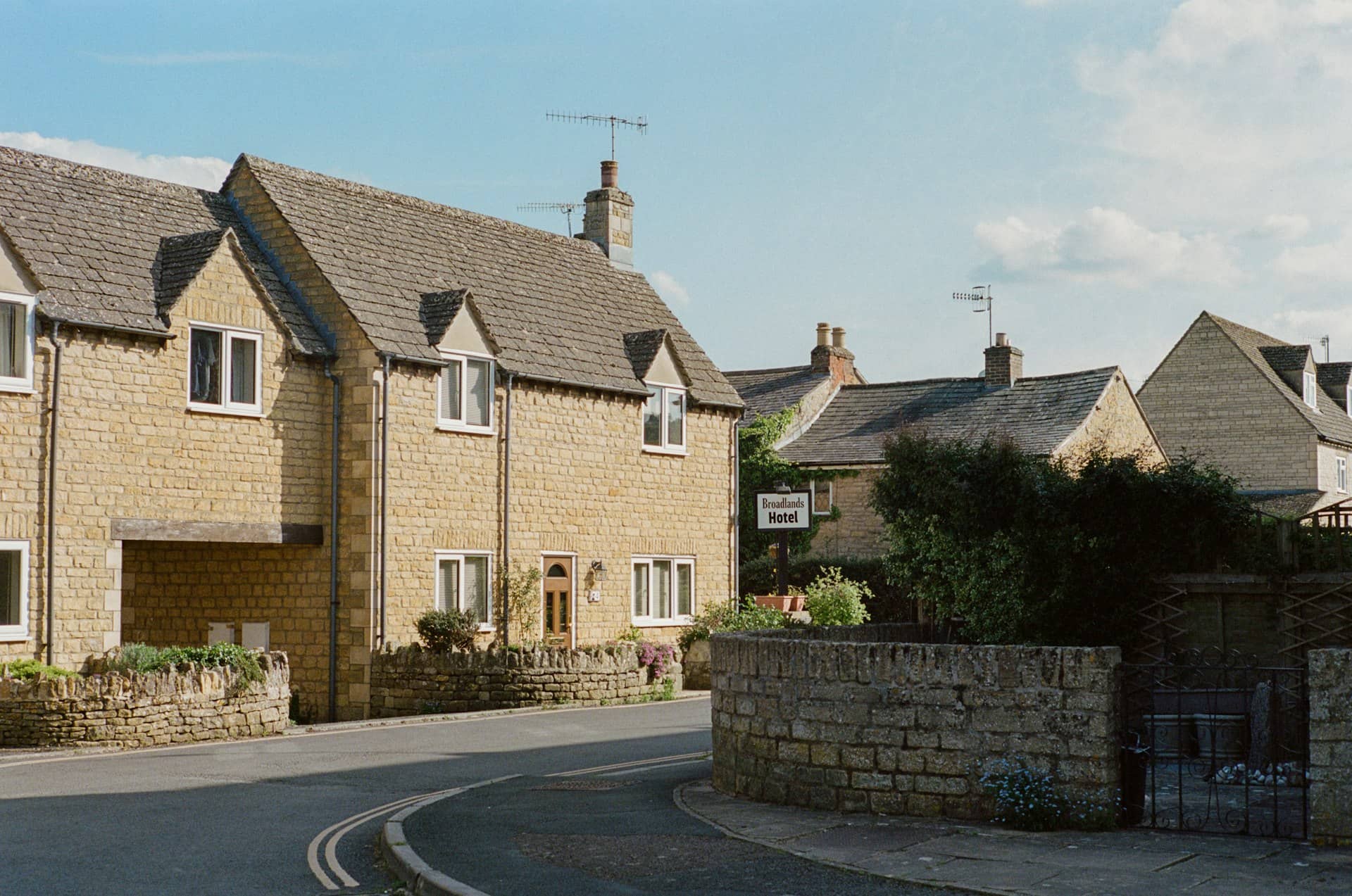
Harrow Council decides householder applications for Harrow, and its recent record and the permitted-development limits that apply here set out below give Harrow on the Hill homeowners a realistic starting point before any drawing begins.
| Measure | Figure for Harrow |
|---|---|
| Harrow Council householder approval rate | 83% |
| England-wide householder benchmark | 87% |
| Loft dormer permitted-development limit (Class B) | 40m³ terrace / 50m³ semi or detached |
| Single-storey rear extension depth (Class A) | 3m terrace / 4m detached |
| Dominant housing era | Edwardian (1901–1910) and interwar (1918–1939) |
| Statutory decision period | 8 weeks |
| Conservation / Article 4 status | Article 4 direction in force; PD removed in Harrow on the Hill, Pinner High Street and Pinner Village |
Harrow runs 4 points below the national average. Approval rate: MHCLG householder planning statistics for Harrow Council; permitted-development limits: GPDO 2015, Schedule 2, Part 1 (Classes A–B).
Usually not — hip-to-gable conversions with rear dormers on Harrow's interwar semis commonly fall under permitted development if they stay within the volume allowance, avoid the front roof slope and are set back from the eaves. You will need permission for flats, in conservation areas such as Harrow on the Hill, or where earlier conditions removed roof PD rights. We confirm the position for your address before drawing.
The statutory period is eight weeks from validation, and most straightforward householder applications in Harrow are decided within it. Complex cases or those needing amendments can be extended by agreement. We monitor the application throughout and respond quickly to case-officer queries so the clock keeps moving.
Yes — Harrow on the Hill is the borough's most sensitive conservation area, taking in the historic village, Harrow School's listed buildings and the Hill's landmark setting. Proposals there face heritage-led scrutiny, and some permitted development rights are restricted. Harrow has other conservation areas too, including around Pinner's historic centre, so we check your address against the council's designations before drawing anything.
Often, but this is the project Harrow scrutinises most closely on its suburban streets, because side extensions can close the characteristic gap between semis and terrace the street. Successful schemes are typically set back from the front elevation, set down from the main ridge and kept subordinate in width. We design to those principles from the first sketch.
A householder application in Harrow needs existing and proposed floor plans and elevations at 1:100 or 1:50, a site location plan at 1:1250 with the site edged red, and a block plan. Hip-to-gable and dormer schemes usually add a roof plan and section. Our packs include everything the validation checklist asks for.
Most Harrow refusals are resolved by targeted amendment — setting a gable down from the ridge, pulling a dormer back, narrowing a side extension to preserve the gap. We revise the drawings free of charge and resubmit; a repeat householder application within twelve months of refusal usually attracts no further council fee.
Answer five quick questions and get a free planning score for your exact address — instantly. Then, if you want the full picture, unlock the detailed analysis: your council's live approval rates, local precedents, constraints on your street and a step-by-step route to permission.
Local, keyword-specific drawings tuned to your council's guidance.
Same fixed quotes, same fast drawings — wherever your project is.