
Before you spend on drawings, find out what rules apply to your plot. We check the four designations that change the answer most often in London and send you the result in plain English.
Photo: A P Monblat, BY-SA 4.0
Planning constraints report
Fixed in writing after a free assessment of your property. Council planning fees are separate.
Every price is the total you pay. Checked 24 October 2026.
Most London homeowners can tell you their postcode and not whether the street is a conservation area. The two are different questions, and the second one controls what you may build without an application. A conservation area removes the larger rear extension rights and some roof rights, and can limit cladding, front changes and side extensions.
An Article 4 direction goes further. A council can switch off a permitted development class for a street or area, so a loft dormer that would be allowed next door needs permission on your own side of the boundary. Boroughs publish these on their own maps, and the maps are not always easy to read.
Listing is a separate consent regime, and a property next to a listed building has its own considerations about setting. Flood zones matter more than owners expect, because they can add a flood risk assessment to an application and set rules for floor levels.
The report gives you a plain answer for each: yes, no, or near, with the source. If any check shows a constraint, we point you to the next step, which may be a heritage statement or a flood assessment.
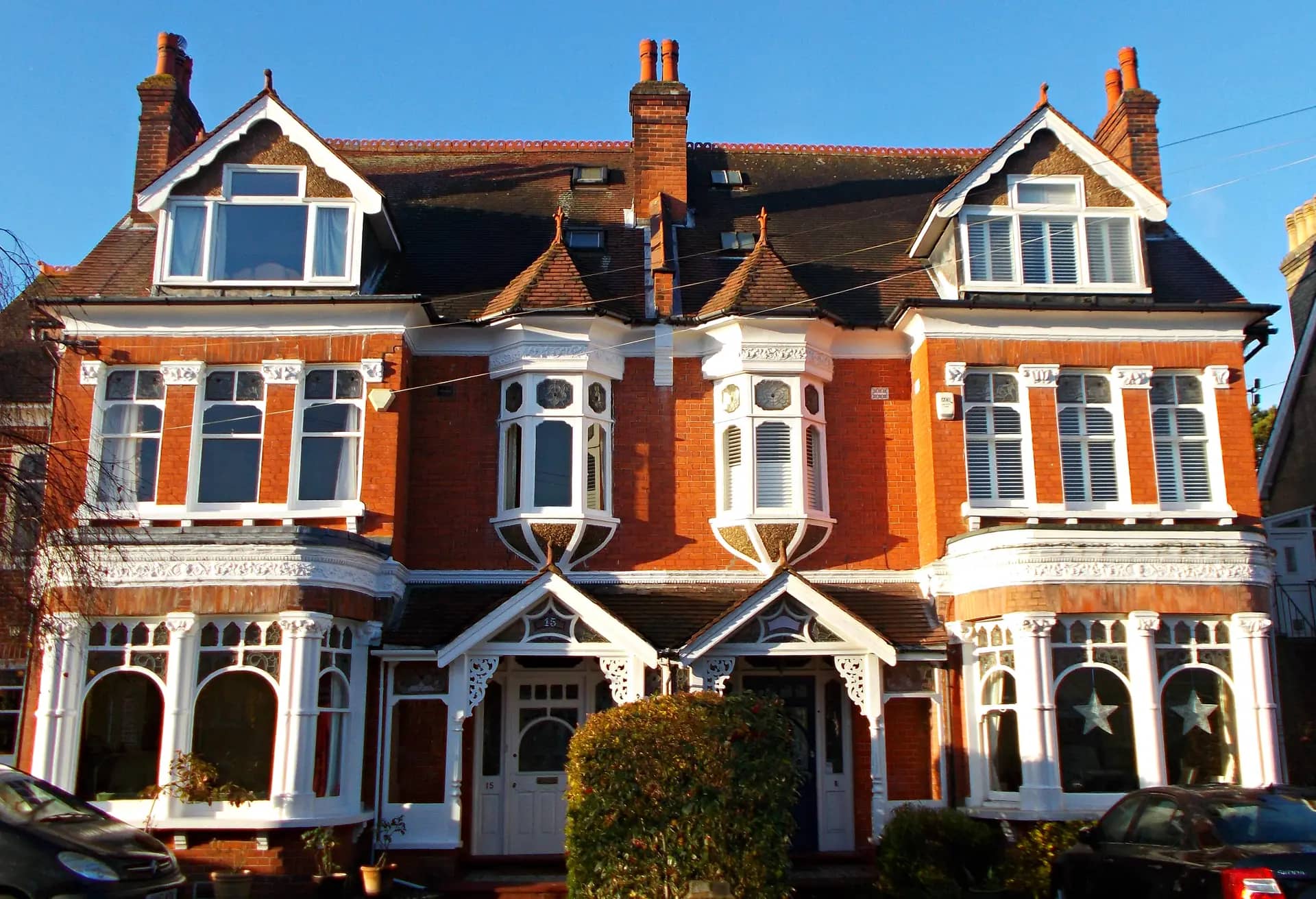
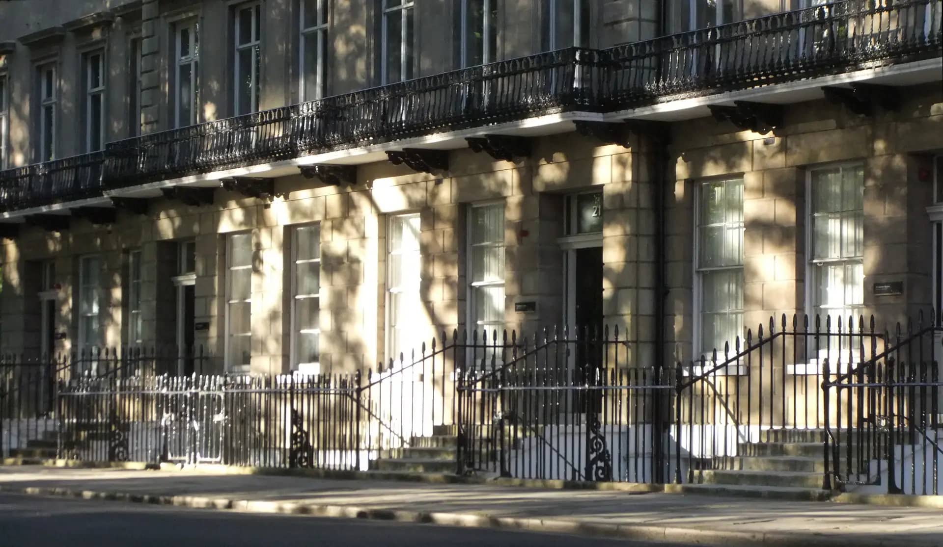
Four checks, one page, a short covering note.
Each designation affects a different part of your plan, and the table shows where.
| Constraint | What it changes | Next step if you are affected |
|---|---|---|
| Conservation area | Larger rear limits and some roof rights | Check design guidance; heritage statement |
| Article 4 direction | Named permitted development classes | Full planning application |
| Listed building | Almost any alteration needs consent | Listed building consent drawings |
| Flood zone 2 or 3 | Floor levels and a flood risk assessment | Flood risk assessment |
| Near a main river | A permit may be needed within 20 m | Contact the Environment Agency |
Sources: GPDO 2015 and flood standing advice.
Each figure links to the law or government source it comes from.
Section 72(1) requires special attention to preserving or enhancing the character or appearance of a conservation area in planning decisions.
Source: legislation.gov.uk, Planning (Listed Buildings and Conservation Areas) Act 1990, s.72Article 4 of the GPDO lets a council direct that permitted development under a Schedule 2 class does not apply in a named area or to a particular development.
Source: legislation.gov.uk, GPDO 2015, article 4Class A.1(g) larger rear extensions of 6 metres or 8 metres are not available on article 2(3) land, which includes conservation areas.
Source: legislation.gov.uk, GPDO 2015, Schedule 2, Part 1, Class A.1(g)Carrying out works without listed building consent is an offence, punishable on indictment by up to 2 years in prison, a fine, or both.
Source: legislation.gov.uk, Planning (Listed Buildings and Conservation Areas) Act 1990, s.9Flood standing advice sets finished floor levels at least 600 millimetres above the estimated flood level, or 300 millimetres where that level is known with high certainty.
Source: GOV.UK, Flood risk assessment: standing adviceA permit may be needed for work within 20 metres of a main river.
Source: GOV.UK, Flood risk assessment: standing adviceTell us about your project and get a fixed, no-obligation quote back within one working day. If you don't need planning permission at all, we'll tell you that too — for free.
Yes. Councils publish constraint maps, and the National Heritage List and Environment Agency flood map are free. Our report is for people who want the four answers together, read by someone who knows what each means for a project.
No. It means these four designations do not apply. Your project can still need permission, for example if it is a flat or exceeds a limit. The pre-purchase report and a lawful development certificate answer that question.
As a short written note by email, with the source for each check. Turnaround is usually quick because the checks are desk-based. We tell you if an area has conflicting information.
The constraints report answers four designation questions. The pre-purchase report adds the planning history, a permitted development check on the house type and a view of what you could build.
Yes. If you go on to instruct us, the £19 comes off the drawings fee, and we confirm that when we quote.
Near is not in, and the rules for a conservation area do not apply. The council may still consider the effect on its setting, so we note it and explain how that could influence a scheme.
Answer five quick questions and get a free planning score for your exact address — instantly. Then, if you want the full picture, unlock the detailed analysis: your council's live approval rates, local precedents, constraints on your street and a step-by-step route to permission.